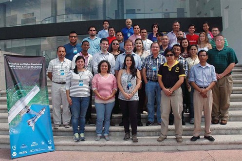
Higher Resolution SRTM Data & Flood Modelling Workshop: Mexico
When: Monday, May 25, 2015
to Friday, May 29, 2015
Where: Tonantzintla and Puebla, Mexico
This capacity-building workshop on flood modeling was organized by the Working Group on Capacity Building and Data Democracy (WGCapD) of the Committee on Earth Observation Satellites (CEOS), hosted by the Regional Centre for Space Science Education for Latin America and the Caribbean (CRECTEALC), and further supported by the Secure World Foundation (SWF), INAOE, BUAP, the Mesoamerican Centre for Theoretical Physics (MCTP), and the UN Office for Outer Space Affairs. The workshop was designed for practitioners in the Latin America and Caribbean region and will be held at the facilities of the Instituto Nacional de Astrofísica, Óptica y Electrónica (INAOE) and of the Benemérita Universidad Autonóma de Puebla (BUAP), in the state of Puebla, Mexico.
The workshop supported the objectives of, and is coordinated with, the Group on Earth Observation (GEO) and the EOPOWER project of the European Commission to further develop the Global Earth Observation System of Systems (GEOSS) and the capacity to use Earth observation data for development. A workshop report capturing highlights from the event as well as feedback from the participants is available below.
Background
In 2014, the White House, Government of the United States, announced the release of the Shuttle Radar Topography Mission 30 meter resolution global dataset, also known as SRTM-2. This is the highest quality digital elevation model (DEM) now publicly available. Among its many uses, the higher resolution data enables more accurate modeling of floods, coastal storm surges, mudslides, and volcanic lahar flows.
Following the announcement, the WGCapD set out to make 30m SRTM-2 data available to countries that need it through regionally focused workshops, hosted by respected institutions with expertise in DEMs. The workshops are being organized to help practitioners incorporate SRTM-2 data into their existing processes and projects, teaching them how to actively use 30m DEMs.
The first WGCapD-organized SRTM-2 workshop of 2015 was hosted in March 2015 by the South African National Space Agency (SANSA). The workshop targeted disaster management practitioners in the southern Africa region, with a particular emphasis on the TerraHidro and CREST flood models. Additional information about the event is available here.
Event Materials
If you have any questions about this event, please contact SWF Project Manager Laura Delgado López.
 Share
Share