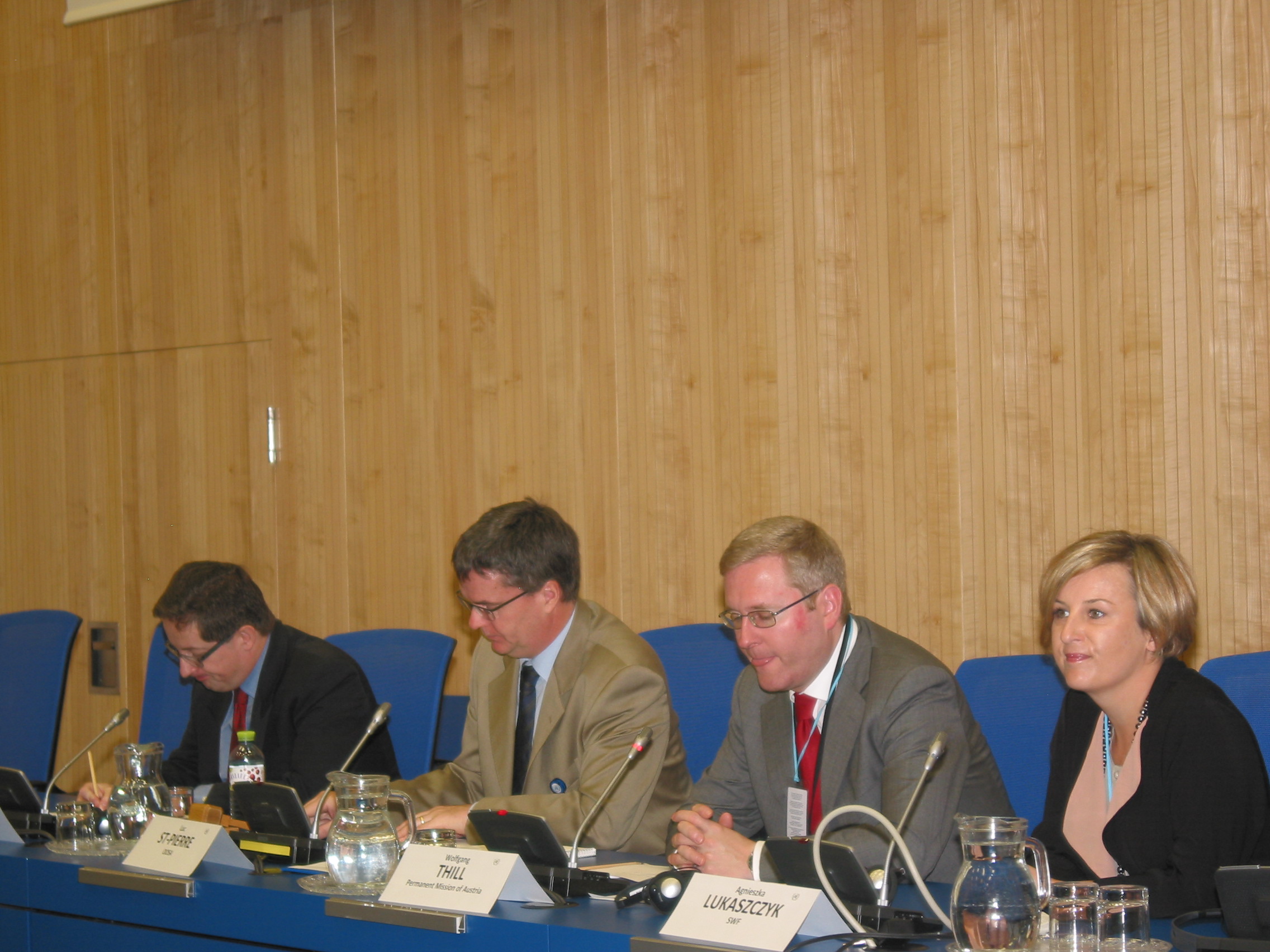
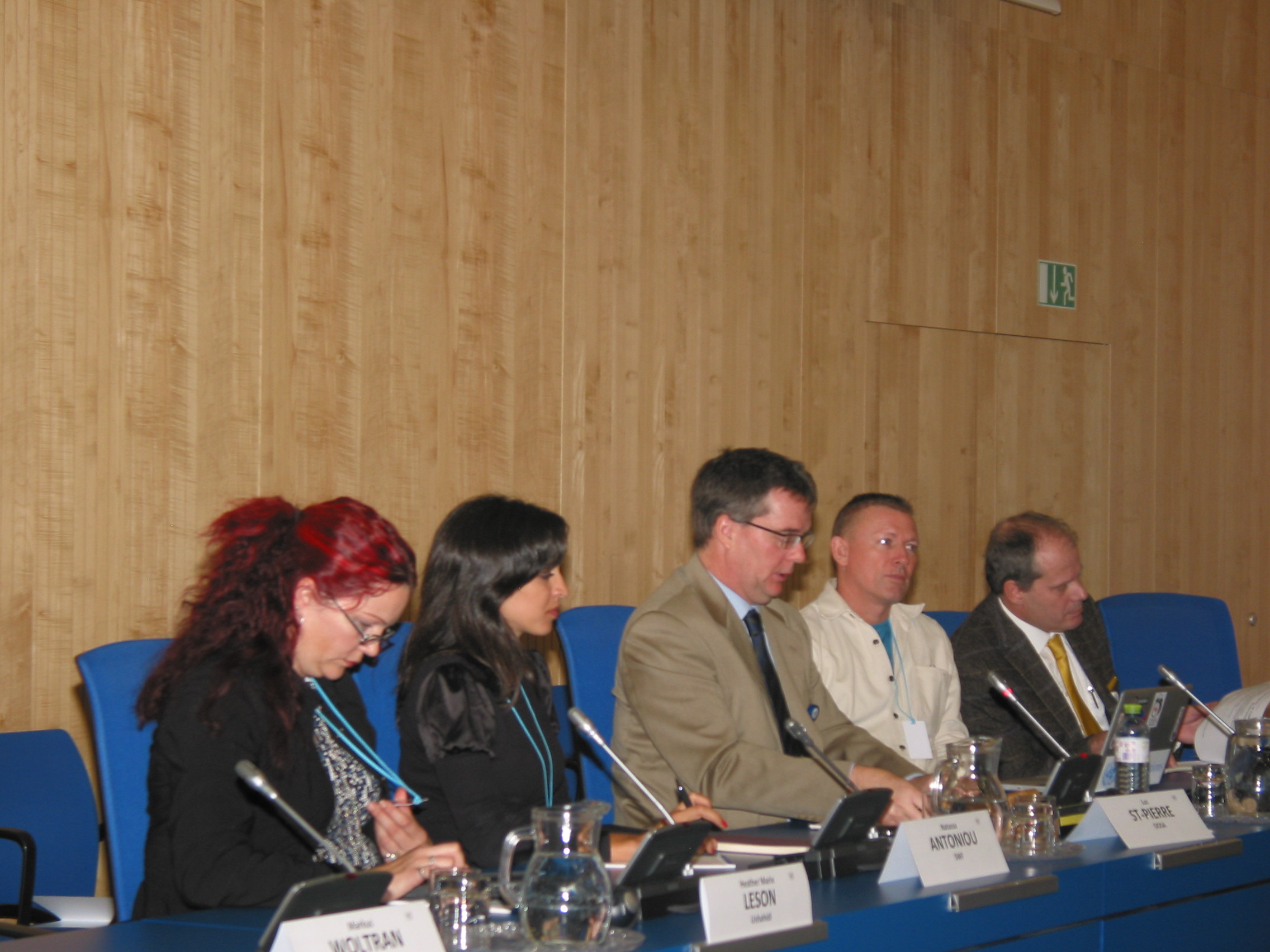
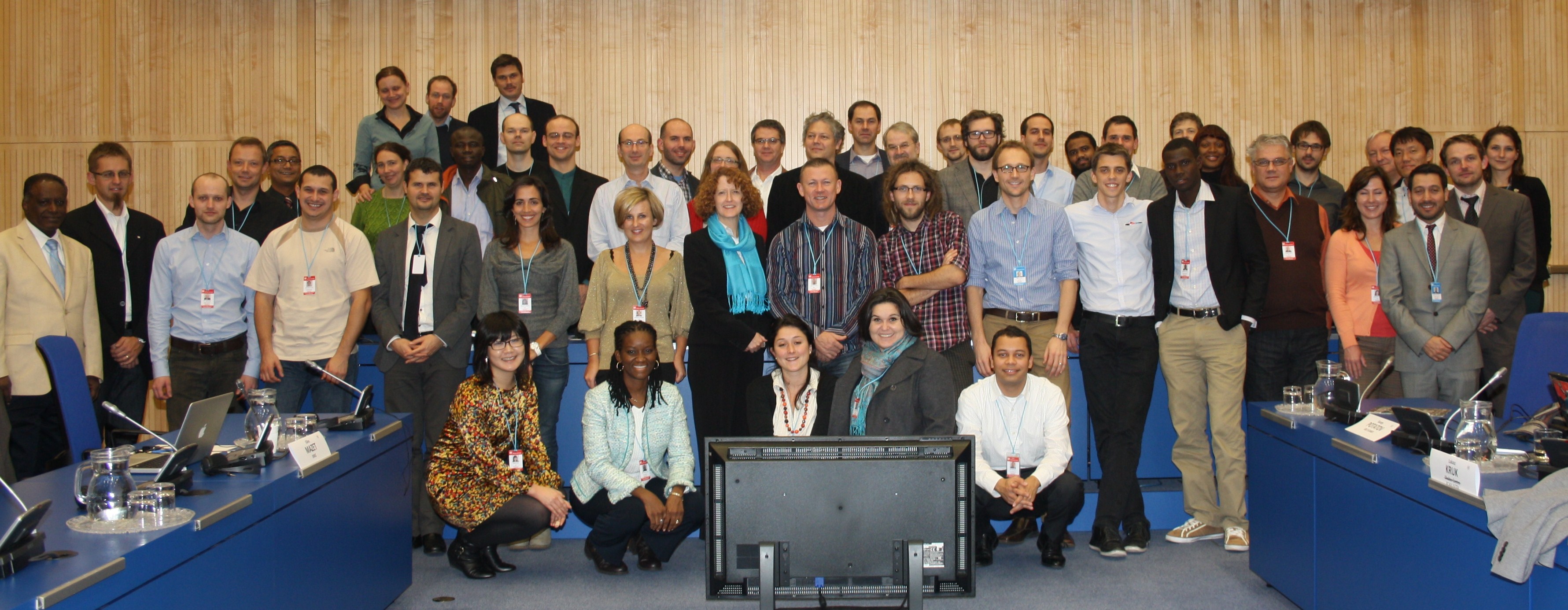
United Nations International Expert Meeting on Crowdsource Mapping for Disaster Risk Management and Emergency Response
When: Monday, December 3, 2012
to Wednesday, December 5, 2012
Where: United Nations Office in Vienna (Vienna International Center), Austria
Introduction/ Background
In recent years, technological advancements have made it possible for Volunteer and Technical Communities (V&TCs) i.e. OpenStreetMap, Ushahidi, Sahana, CrisisMappers, Virtual Disaster Viewer, Google MapMaker, INSTEDD and others to provide increasing support to disaster risk management and emergency response efforts. Important cornerstones of this virtual effort are the possibility to access and take advantage of satellite imagery as well as the use of other space-based technologies such as telecommunications satellites and global navigation satellite systems.
The United Nations recognizes the importance of such new methodologies for disaster risk management and emergency response. This is demonstrated in the United Nations Office for the Coordination of Humanitarian Affairs' involvement in requesting the establishment of a crisis mapping platform in Libya and in the support the United Nations Foundation and the United Nations Office for the Coordination of Humanitarian Affairs provided to the 2011 Harvard Humanitarian Initiative Report, "Disaster Relief 2.0: The Future of Information Sharing in Humanitarian Emergencies." Taking note of the need to connect these pioneering communities with the space industry as well as the disaster management community the UN-SPIDER Programme is carrying out a number of activities with the view to identifying and organising specific actions that could ensure a closer cooperation among the three communities (crowdsource mapping, disaster management and space technology communities). The UN-SPIDER Programme is ideally positioned to conduct this project given its mandate and its role within the United Nations which is to promote the use of space-based information; its established networks bringing together national institutions responsible for disaster management and emergency response, as well as other end users, and space solution experts; and its technical foundation, particularly in the area of information technologies.
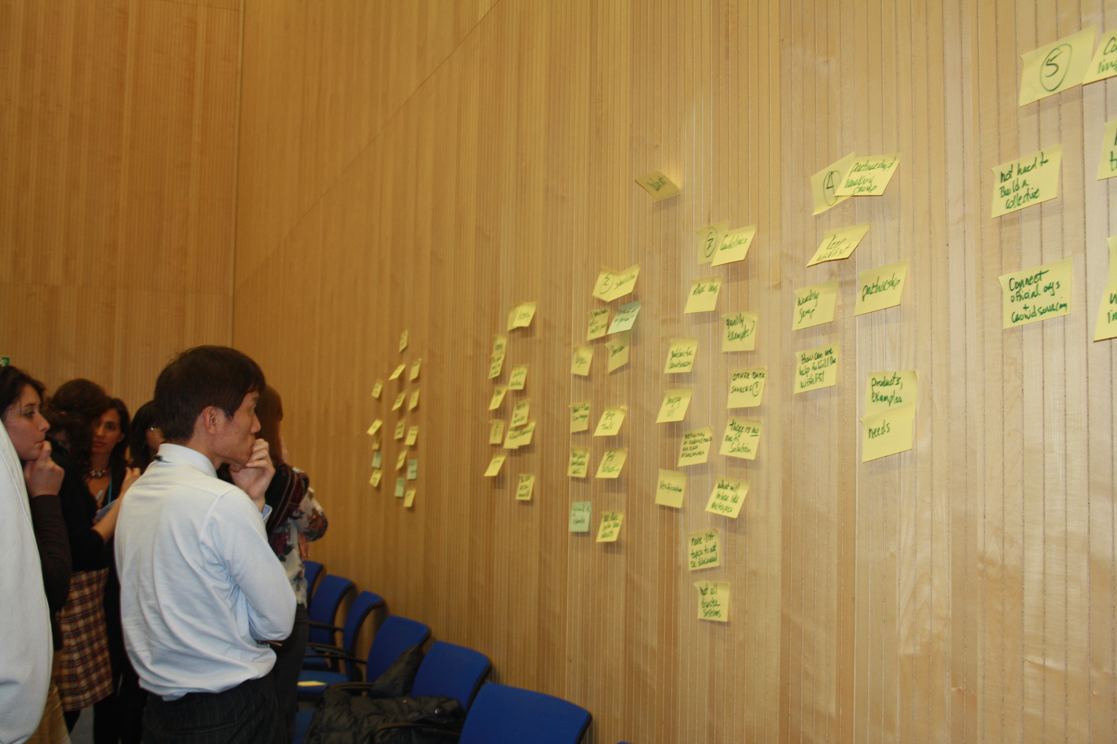
Crowdsource mapping is by nature an interdisciplinary field bridging many areas of expertise, including the need to access and use space-based technologies. In order to understand how such technologies can contribute to the work of the V&TCs there is a need to better define how the many fields come together to support crowdsource mapping activities, and more specifically the common questions being asked by all those getting involved. Bringing together the three communities to brief about their fields of expertise provides an opportunity to understand better the questions being asked and how space-based technologies could contribute to solving them.
To help building a tighter cooperation and further understanding among all three communities UN-SPIDER is organising the above meeting which is the third one since it began its "Space-based information for Crowdsource Mapping" project in 2011. It will build upon the recommendations and conclusions of the previous two meetings. These recommendations and conclusions are contained in the project report.
Event Organisers:
United Nations Office for Outer Space Affairs (UNOOSA)
Co-organisers:
The Government of Austria, Secure World Foundation
 Share
Share