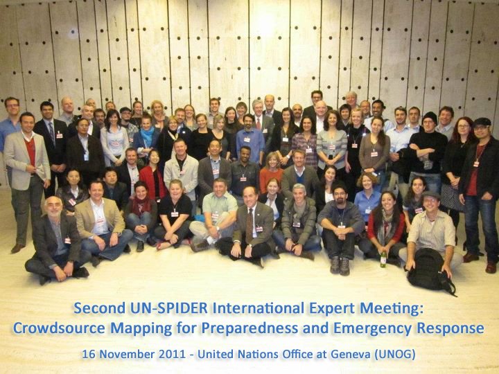
UN-SPIDER International Expert Meeting-Crowdsource Mapping for Preparedness and Emergency Response
When: Wednesday, November 16, 2011
Where: Palais des Nations, Geneva, Switzerland
In recent years, advancements in technologies have made it possible for virtual communities such as OpenStreetMap, Ushahidi, Sahana, CrisisMappers, Virtual Disaster Viewer, Google MapMaker and INSTEDD to provide increasing support to disaster preparedness and emergency response efforts. Important cornerstones of this virtual effort are the possibility to access and take advantage of post-disaster satellite imagery as well as the use of other space-based technologies such as telecommunications satellites and global navigation satellite systems. Taking note of the need to connect these pioneering communities with the space industry as well as the disaster management community, the UN-SPIDER Programme is carrying out a one-year project ("Space-based information for Crowdsource Mapping") aiming at identifying specific actions that could ensure a closer cooperation among the three communities.
In July 2011 the UN-SPIDER Programme, with the support and cooperation of the Government of Austria and Secure World Foundation, successfully conducted the First International Expert Meeting on "Crowdsource Mapping for Preparedness and Emergency Response". The expert meeting initiated far-reaching discussions and received important and relevant feedback from experts on applications and products which are elaborated by the crowdsource communities, on requirements regarding how information has to be tailored to ensure that it can be used effectively by the disaster management communities, as well as on building upon existing solutions to facilitate the sharing of information. The meeting also helped to facilitate an understanding between the three communities of the strengths and challenges they share as well as ways to explore further collaboration. One of the recommendations from the meeting is to plan a simulation exercise in Samoa (30 November 2011) where, for the first time, the three communities will work together in a coordinated manner.
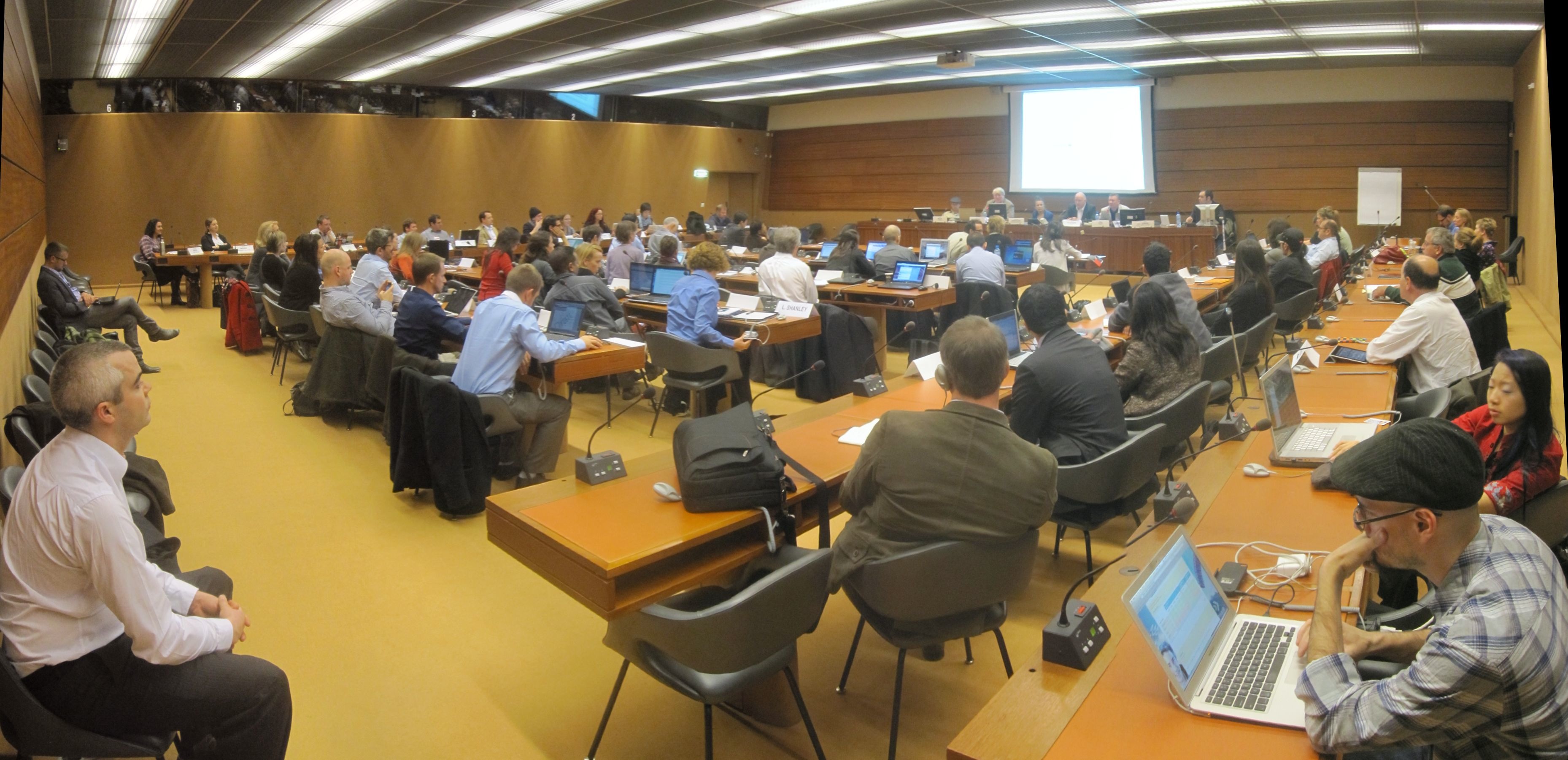
The second activity of this project will be this Expert Meeting to be held in Geneva, back-to-back with the International Conference on Crisis Mapping (ICCM 2011) . The meeting will focus on exploring possible ways of contributing to better coordination of the crowdsource communities with the space technology community and on overall improvement of its involvement to facilitate the preparation and processing of space-based products used by the disaster risk reduction and emergency response community. The discussions will target opportunities that make space-based information available for disaster risk reduction and emergency response, including their access and use, as well as the further involvement of existing mechanisms to ensure increased coordination and cooperation of all three communities.
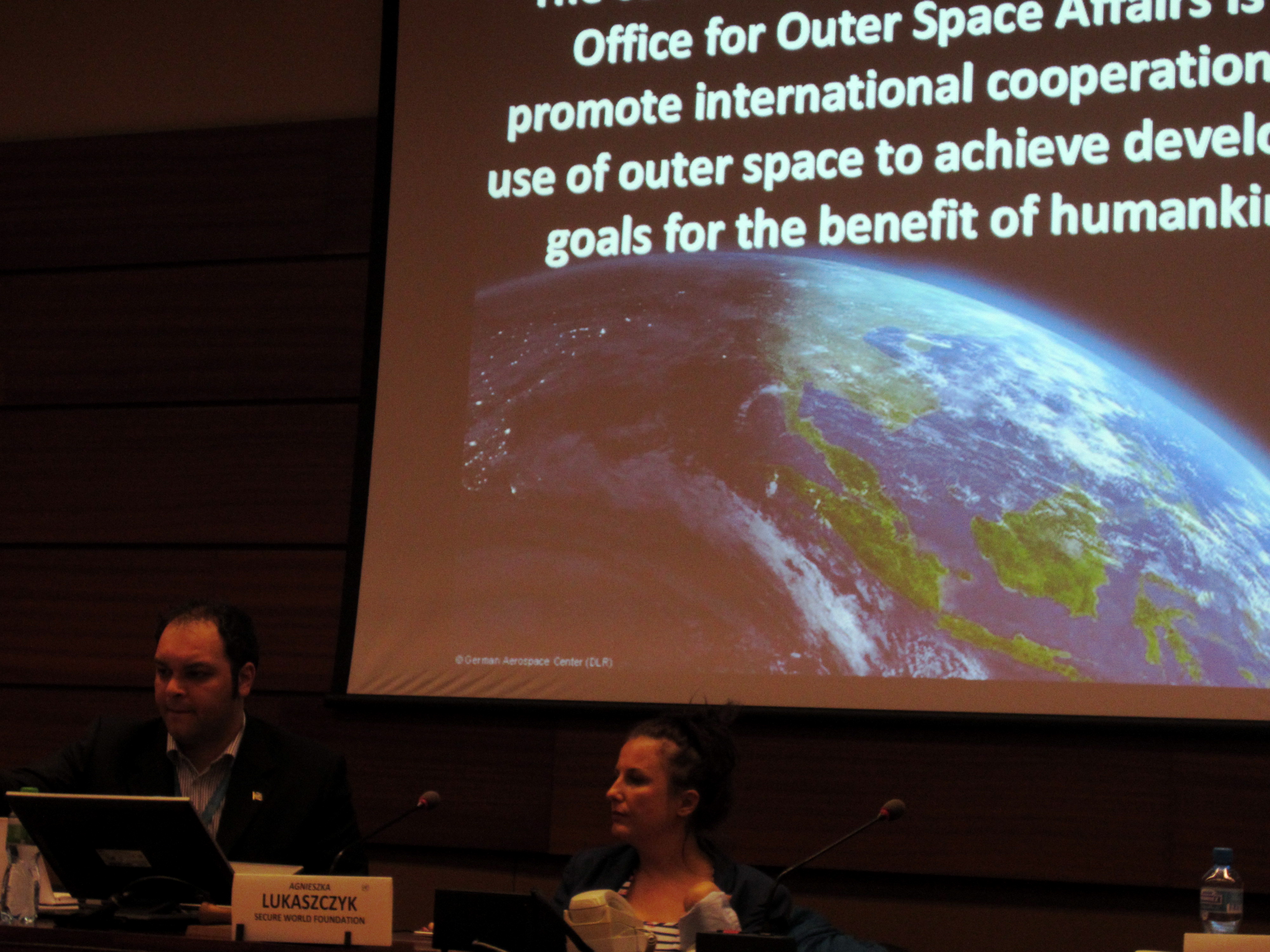
The UN-SPIDER Programme was established by the United Nations General Assembly in 2006 with the mission to: "Ensure that all countries and international and regional organizations have access to and develop the capacity to use all types of space-based information to support the full disaster management cycle". This includes the need to ensure that space-based information supports the crowdsource mapping efforts for the benefit of the emergency response community.
- Read the "Space-based information for crowdsource mapping" Full Report Now
- Read Programme
- Learn more about the participants
Please find below the presentations from the event:
- David Stevens, United Nations Office for Outer Space Affairs, "Leveraging on the Crowdsource Mapping Community (VTCs) for the Benefit of the End Users"
- David Leng, HEAL, "Simulation Meeting: Samoa Cyclone Preparedness and Emergency Response"
- Joshua S Campbell, U.S. Department of State "Sharing commercial satellite imagery with the crowd"
- Shadrock Roberts, University of Georgia, "UNHCR & Crowdsourcing, A partnership with the Stand By Task Force"
- Nicolas Chevant, Humanitarian OpenStreetMap Team, "Contribution from the experience of the Humanitarian OpenStreetMap Team (HOT)"
- David Foster, UNMIL, "USAVE, UNMIL Situational Awareness Visualization Environment"
- Ann Frisch, Nonviolent Peaceforce, "Unarmed Civilian Peacekeeping"
- Rashmin Gunasekera & Keiko Saito, "Willis Research Network"
- Paola Rosa Fava, COOPI - Cooperazione Internazionale, "Disaster Preparedness: examples from 3 countries"
- Robin McLaren, Know Edge Ltd, "RICS Research, Crowdsourcing Support of Land Administration"
- Christoph Dennenmoser, German Red Cross/ Humanity Road, "HUMANITYROAD, Building Bridges"

 Share
Share